
Cultural heritage
The Beerburrum to Nambour Rail Upgrade project area is surrounded by a unique landscape that has significant environmental, cultural and heritage attributes.
Historical timber find at Beerburrum to Nambour rail upgrade early works site
Click on the image to see more detail.
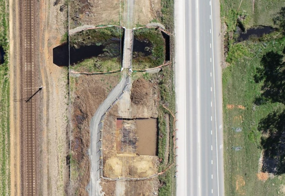
As part of the Beerburrum to Nambour rail upgrade early works, a 1km section of Steve Irwin Way between Nursery Road and Moffatt Road, south of Glass House Mountains is being realigned. The road is being moved to accommodate the new rail corridor and track infrastructure.
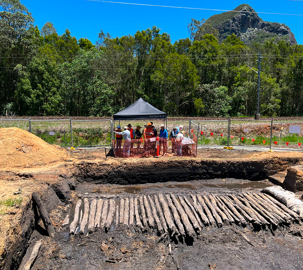
At this section of the Beerburrum to Nambour rail upgrade early works site, the contractor discovered timber logs while excavating an area in preparation for placing an under bore rig to connect water pipes and internet cables under Steve Irwin Way. Historical survey documents suggest the timber logs discovered may have been laid in this area to enable passage over swampy ground, in a formation often referred to as a corduroy road.
The practice of building corduroy roads by placing logs next to each other was frequently used in low lying and swampy areas as an inexpensive and simple way to stabilise road foundations and deal with poor road conditions.
Archaeological investigation
Click on the image to see more detail.
Following the advice of the Department of Environment and Science, we engaged a specialist to undertake archaeological assessments and excavations to record the feature. The full extent of the corduroy road is between 40–50m and consists of round, uncut logs laid parallel to each other in an east-west direction with no discernible joinery or carpentry other than obvious axe marks on smaller logs.
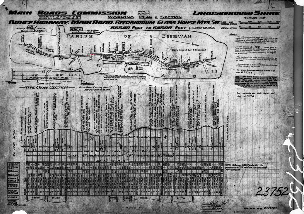
The corduroy road is likely to pre-date the 1919 road designation but could have served as a factor in the selection of the current road alignment. Soil stratigraphy showed a layer of asphalt on top of the feature associated with the 1937 road upgrade.
After the archaeological assessment was completed, the exposed section of corduroy road was covered in geofabric and backfilled with crusher dust to preserve the structure.
Historical and local context
Click on the image to see more detail.
Available documentation and research indicate that the timber logs discovered at the Beerburrum to Nambour rail upgrade early works site are an early and intact example of a corduroy road. This corduroy road serves as a rare example of early road construction in low lying and swampy areas in Queensland that facilitated the movement of people and goods across quagmires. It is likely that the corduroy road discovered is a public road, associated with the development of early rail and road networks.
In 1868 the government made the first attempts to develop a formal road from Brisbane to Gympie, with businesses making use of the opportunity to establish coach and accommodation services.
The North Coast rail line was completed in 1890-1891 and opened up the transportation network of Southeast Queensland by linking Brisbane, Gympie, Maryborough, Bundaberg and Mount Perry.
Based on the structure of the corduroy road and available research, it is possible that the corduroy road was constructed between 1890-1919, in association with the development of the North Coast rail line and associated road networks.
It is also possible that the corduroy road formed part of an earlier road alignment during the establishment of soldier resettlement in the Beerburrum area from 1916.
Fast facts about the Beerburrum to Nambour rail upgrade
- Log sizes vary significantly. The smallest logs were around 600mm long with a central diameter of 50mm and the largest at 3900mm and 4200mm long with diameters of up to 230mm.
- The exposed section of corduroy road was recorded in detail, covered in geofabric and backfilled with crusher dust to a depth of 100mm.